CARI-Soils4Liberia Project Reinforces Field Technicians’ Capacity to Conduct Nationwide Soil Sample Collection and Classification Survey
SUAKOKO, Bong County – The Central Agricultural Research Institute (CARI), in partnership with national and international stakeholders, has officially conducted a six-day Soil Profile Description and Classification Workshop under the Liberia Lands and Soil Resources Knowledge Project (Soils4Liberia). The training, held from April 16–22, 2026, marks the start of a nationwide soil data collection and classification survey to transform agricultural planning and land management in Liberia.
The Soils4Liberia Project seeks to generate reliable, standardized soil data to guide sustainable agriculture and land use planning. A key component of this initiative is equipping field teams with the knowledge and skills to accurately describe soil profiles, understand soil-forming processes, and apply internationally recognized classification systems.
The workshop commenced on April 16 at CARI headquarters. In his opening remarks, CARI Director Arthur Bob Karnuah underscored the importance of soil data in advancing food security and sustainable land management. He described the training as “a landmark step toward building Liberia’s capacity to manage its soil resources for agricultural transformation.”
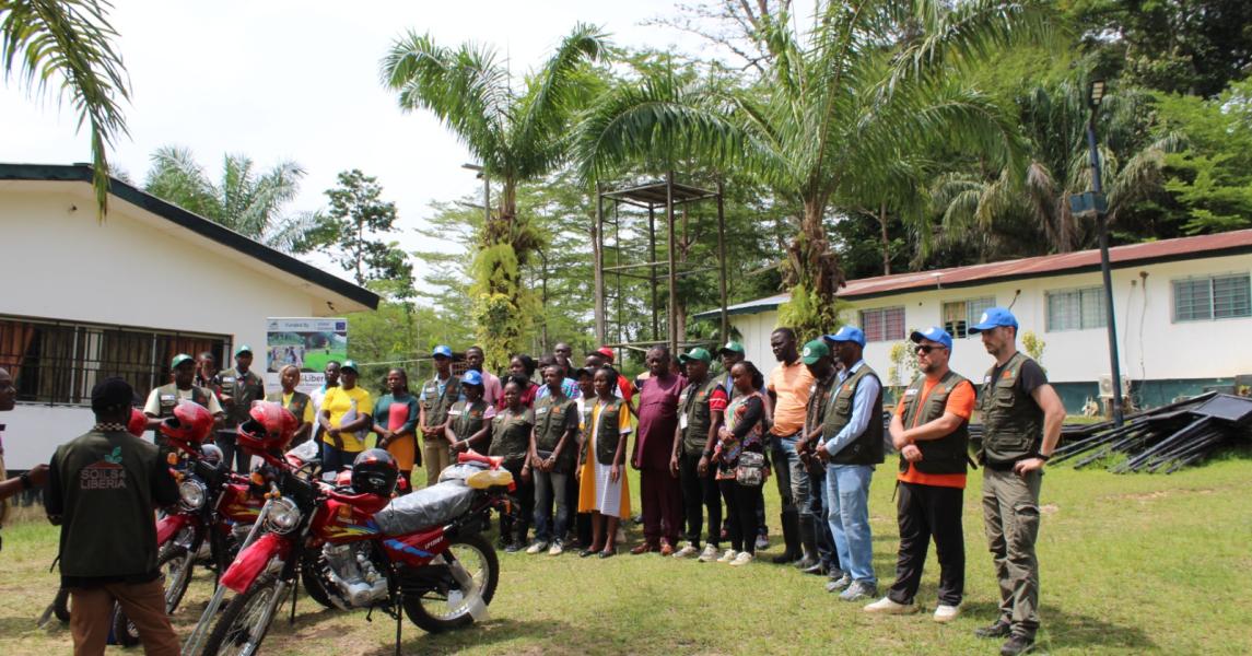
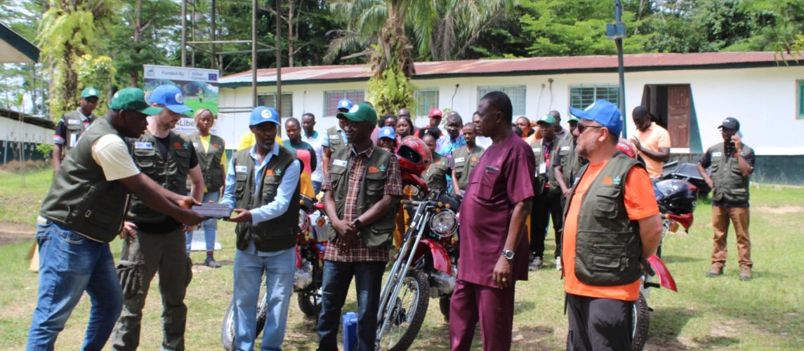
The launch also featured the handover of field campaign equipment and tools to specialists and technicians, symbolizing the official start of Liberia’s nationwide soil survey effort.
The six-day program combined theoretical sessions, group work, and hands-on field practice. Highlights included the introduction to the Soils4Liberia Project and official launch of the field campaign, pedological foundations, soil forming factors, and guidance on opening and documenting soil profiles, field practice at open soil profile sites, applying theoretical knowledge in real conditions, soil classification foundations, with demonstrations of classification techniques, followed by regular field visits to experimental sites for practical demonstrations of soil classification workflows, culminating in a closing ceremony and group photo.
Among the visiting fellows were Gelsleichter Yuri Andrei, a pedologist from the Hungarian University of Agriculture and Life Sciences, and Csorba Ádám, a soil scientist who also serves as Chairperson of the Soil Department at the same institution. Both scholars played a central role as lead facilitators throughout the workshop, guiding participants with a balanced mix of theoretical insights and practical demonstrations.
Their sessions introduced the scientific foundations of soil formation and classification while offering step-by-step instruction on profile excavation, documentation, and the application of standardized methods. By combining clear explanations with interactive group exercises, they ensured that participants not only grasped the concepts but also gained valuable hands-on experience. This approach laid a strong foundation for effective soil survey practices and strengthened Liberia’s capacity to generate reliable soil data for agricultural planning and sustainable land management.
At the end of the exercise, participants gained deeper knowledge of soil formation processes and properties, improved skills in soil profile excavation, description, and standardized data recording, strengthened competence in applying soil classification systems, including the use of specialized colour charts, and enhanced teamwork and coordination for nationwide soil survey campaigns.
The initiative seeks to close Liberia’s critical data gap on soil resources, land use, and agricultural potential. To achieve this, the project will expand and upgrade LibSIS into a national, fully functional Land and Soil Information System (LSIS). This enhanced platform will provide accurate and accessible data to guide agricultural planning, promote sustainable land management, and inform evidence-based policy decisions.
During the official handover ceremony, Dr. Samuel Mesele, Soil Scientist, formally transferred field campaign equipment to CARI. He emphasized that the tools would play a pivotal role in advancing the nationwide soil survey, enabling the preparation of soil, nutrient, and mineral maps, as well as land-use knowledge maps and nutrient-specific recommendations.
Dr. Mesele explained that the ultimate goal is to strengthen Liberia’s capacity for effective land and soil resource management, supporting conservation, sustainable agricultural intensification, and resilience to climate change.
The project aligns with European Union priorities on sustainable agriculture, climate resilience, and food security, while supporting Liberia’s national strategies to modernize agriculture and combat land degradation. The EU serves as the donor, the International Institute of Tropical Agriculture (IITA) is the lead implementing partner, and CARI, alongside other institutions, will spearhead nationwide soil sample collection.
Specific objectives include developing a Land and Soil Information System (LSIS) with accurate, up-to-date soil and land data to support tailored decision-making, enhancing stakeholder knowledge and capacity, raising awareness of the importance of soil and land information, and establishing the Liberia National Soil Information Centre (LiNSIC) to generate, manage, and disseminate reliable soil data for evidence-based agricultural and environmental interventions.
During the field campaign, surveyors will collect soil samples from 1,000 sites across Liberia, representing diverse agroecological zones and land uses. The resulting data will form the foundation of the Liberia Soil Information System.
The training is part of Liberia’s broader effort to institutionalize high-quality agricultural research outputs. By equipping technical staff with advanced soil survey skills, the Soils4Liberia Project aims to provide policymakers, farmers, and researchers with reliable data to inform agricultural planning, improve productivity, and promote sustainable land management.
The workshop concluded on April 22, 2026, with participants returning to their respective institutions equipped and ready to lead the soil data collection survey across Liberia.
Meanwhile, during the handover of equipment, Dr. Mesele emphasized that the equipment will strengthen Liberia’s capacity to conduct the nationwide soil data collection survey under the Soils4Liberia Project. He highlighted its role in producing reliable soil, nutrient, and mineral maps, as well as land-use knowledge maps and nutrient-specific recommendations to support conservation, sustainable agriculture, and climate resilience.
Dr. Dakka underscored that the handover represents a major step in advancing Liberia’s agricultural research infrastructure. He noted that the tools will empower field supervisors, technicians, and researchers to apply modern soil survey methodologies, generate scientifically credible data, and guide evidence-based agricultural planning aligned with national priorities on food security and sustainable development.
Dr. Karnuah, speaking on behalf of CARI, expressed deep appreciation to the partners. He stressed that the equipment is more than technical tools—it is a vital resource for generating reliable soil data to guide agricultural planning, improve productivity, and promote sustainable land management. He reaffirmed CARI’s commitment to collaborate with national and international partners to ensure the Soils4Liberia Project delivers lasting impact for farmers, policymakers, and communities across Liberia.